PETORATSI (PETORAK)
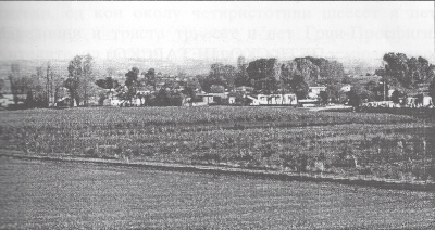
The village of Petorak had its name forcibly changed by the Greek government
to Tripotamos. It is about 10 kilometres northeast of Lerin. It is on
the Lerin plain near the rail line Bitola-Lerin between the Eleshka
and Stara Reka Rivers. It is at 21 degrees 30 minutes longitude and
40 degrees 50 minutes latitude and 677 metres above sea level. Its area
is about 6 square kilometres.
The village borders to the northeast the village Vrbeni, to the east
the village Neokazi, to the southeast Boreshnitsa, to the southwest
the village Armenovo, and to the north it borders the village P'pzhani.
Before the start of the Greek Civil War about 500 residents lived in
the village of whom 75 were Greek-Prosfigi and about 425 were Macedonians.
The residents were employed in agriculture and a little with raising
livestock.
< Return to Index or Next
Chapter >
Lerin in Mourning

